Smari - Heraklion Prefecture (Greece)
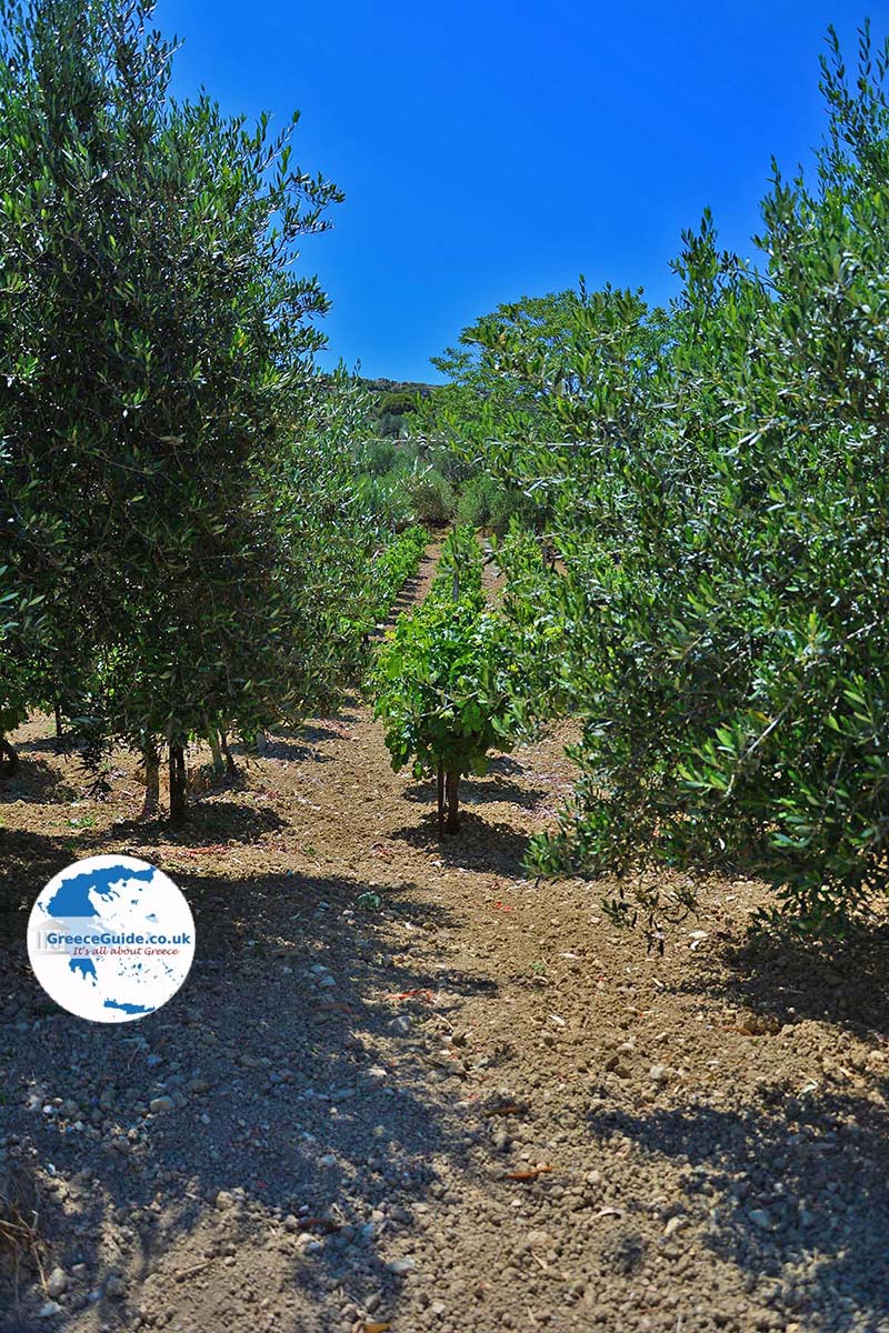
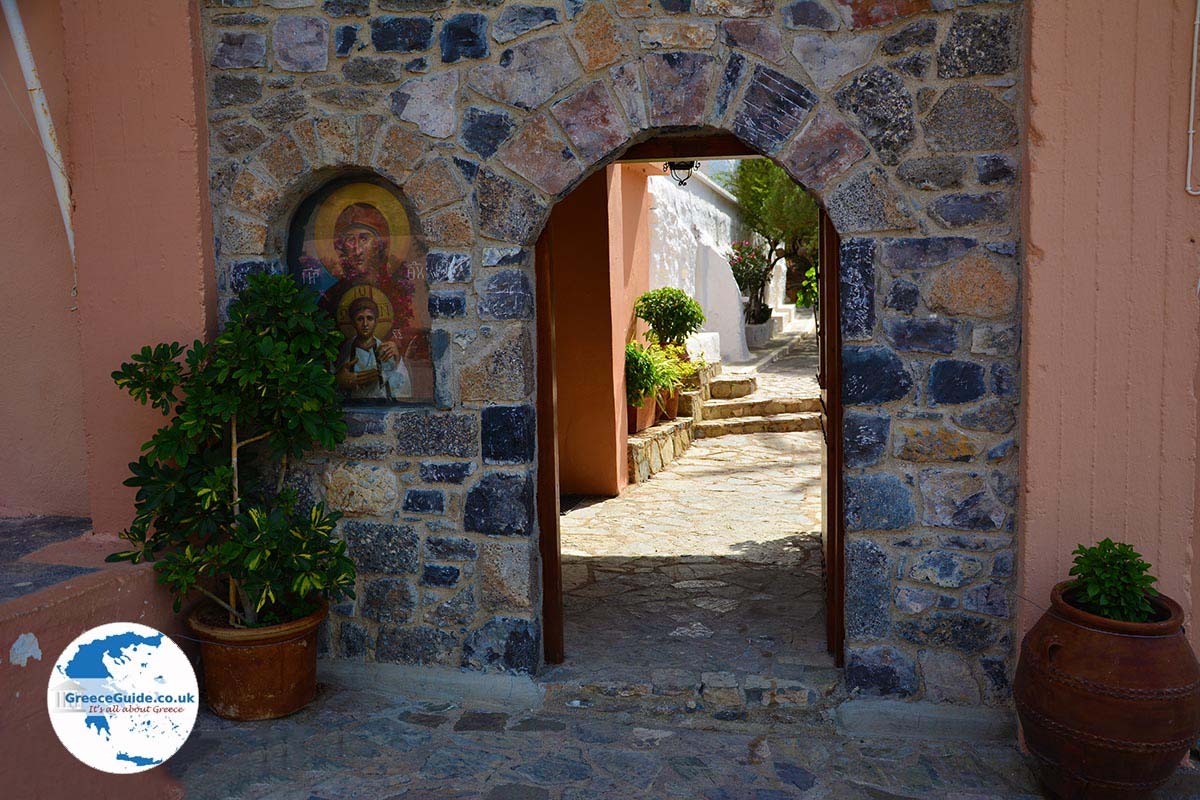
Smari. Smari is a traditional Cretan village 25 kilometres southeast of Heraklion. In Smari are beautiful old stone houses, quaint alleys and a pottery workshop. The village is located in a mountainous area (at 320 meters) in the midst of many olive groves and vineyards. In the village there are several cafes,tavernas and a mini market. In the tavernas you can taste Cretan specialties and thus become acquainted with the traditional Cretan kitchen. Although the village is very small, it has a long history. The village has been inhabited since ancient times. Around the village there are monuments and many Byzantine churches.
Text: Yorgos and Wendy Nikolidakis - Revised by Maxine van Hoften Gee
Photo Gallery Heraklion Prefecture - Photos of Heraklion Prefecture
more photos of Heraklion Prefecture»

Weather forecast Smari (Heraklion Prefecture)
Smari in other languages
 Smari (GriekseGids.nl)
 Smari (GriekseGids.be)
 Smari (JustGreece.com)
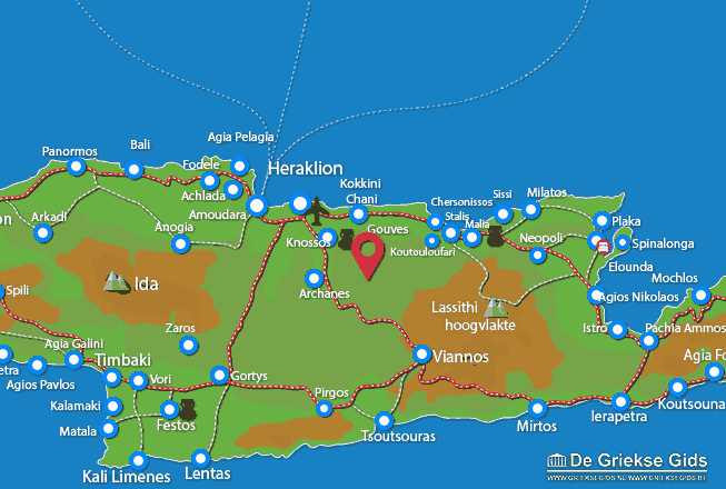
Heraklion Prefecture: Where on the map is Smari located?