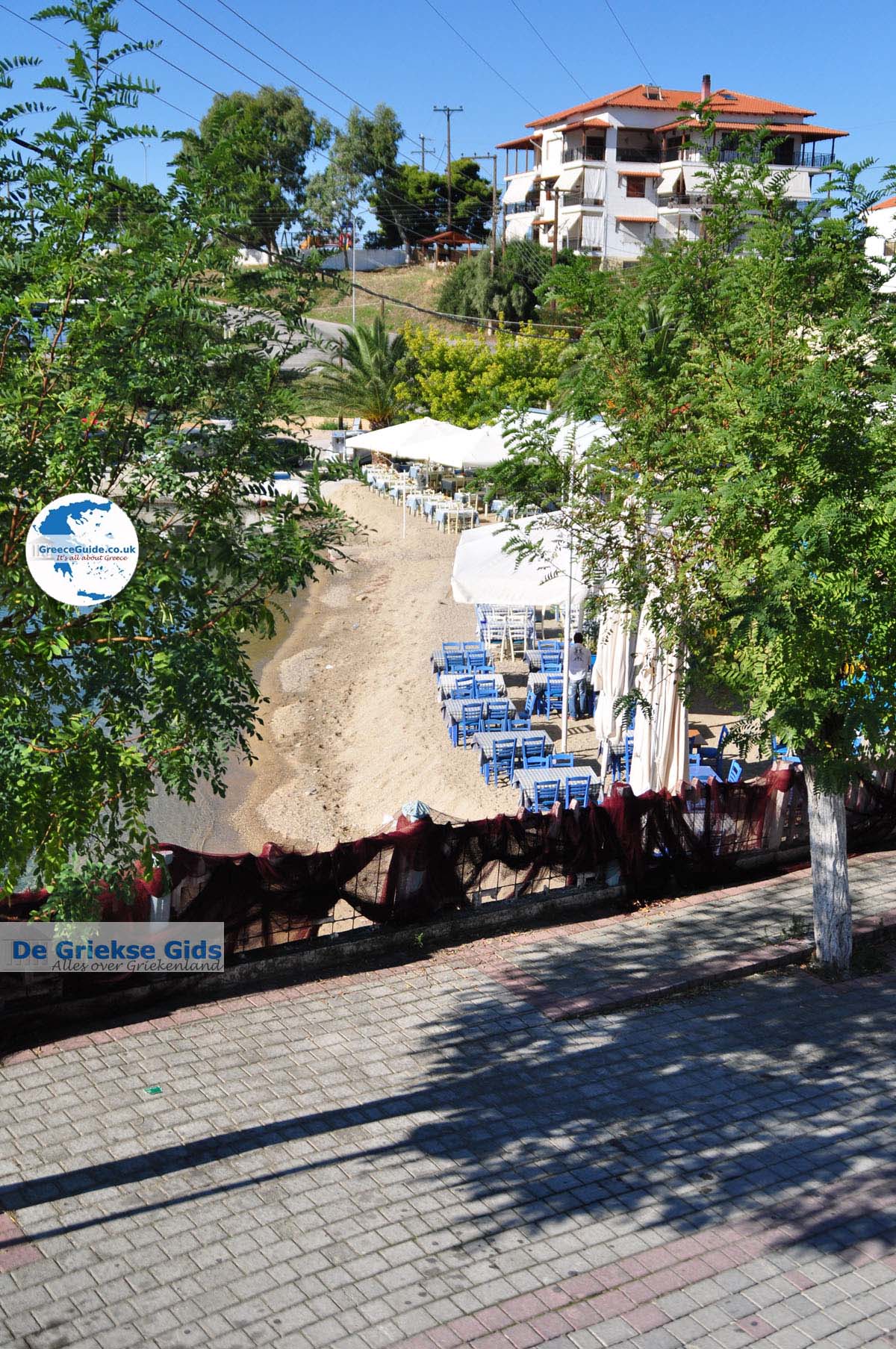
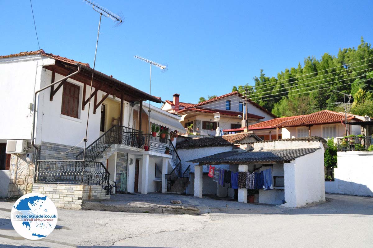
Trypiti - Halkidiki (Greece)
Trypiti is located on the southern side of the 2 kilometer (just over a mile) narrow strip from Nea Roda. Each day, ferryboats sail from the port of Trypiti, to the island of Amouliani and to Mount Athos.
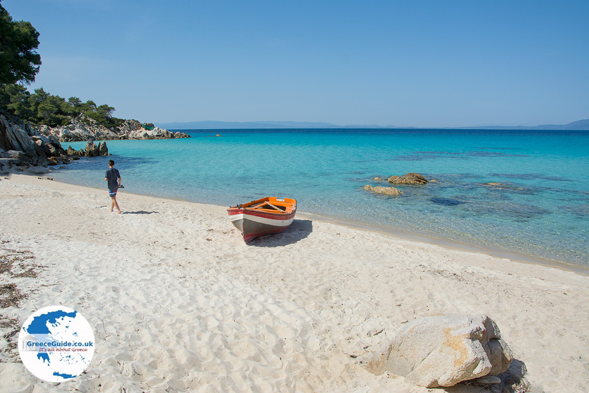
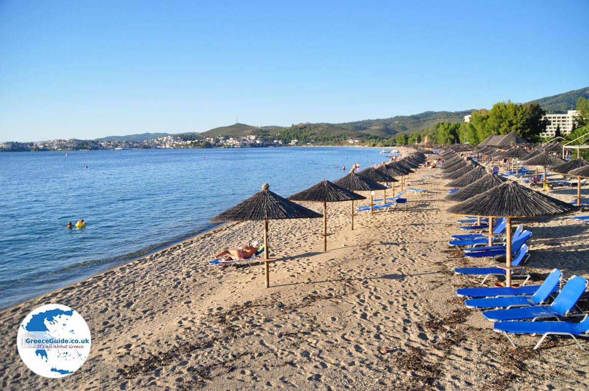
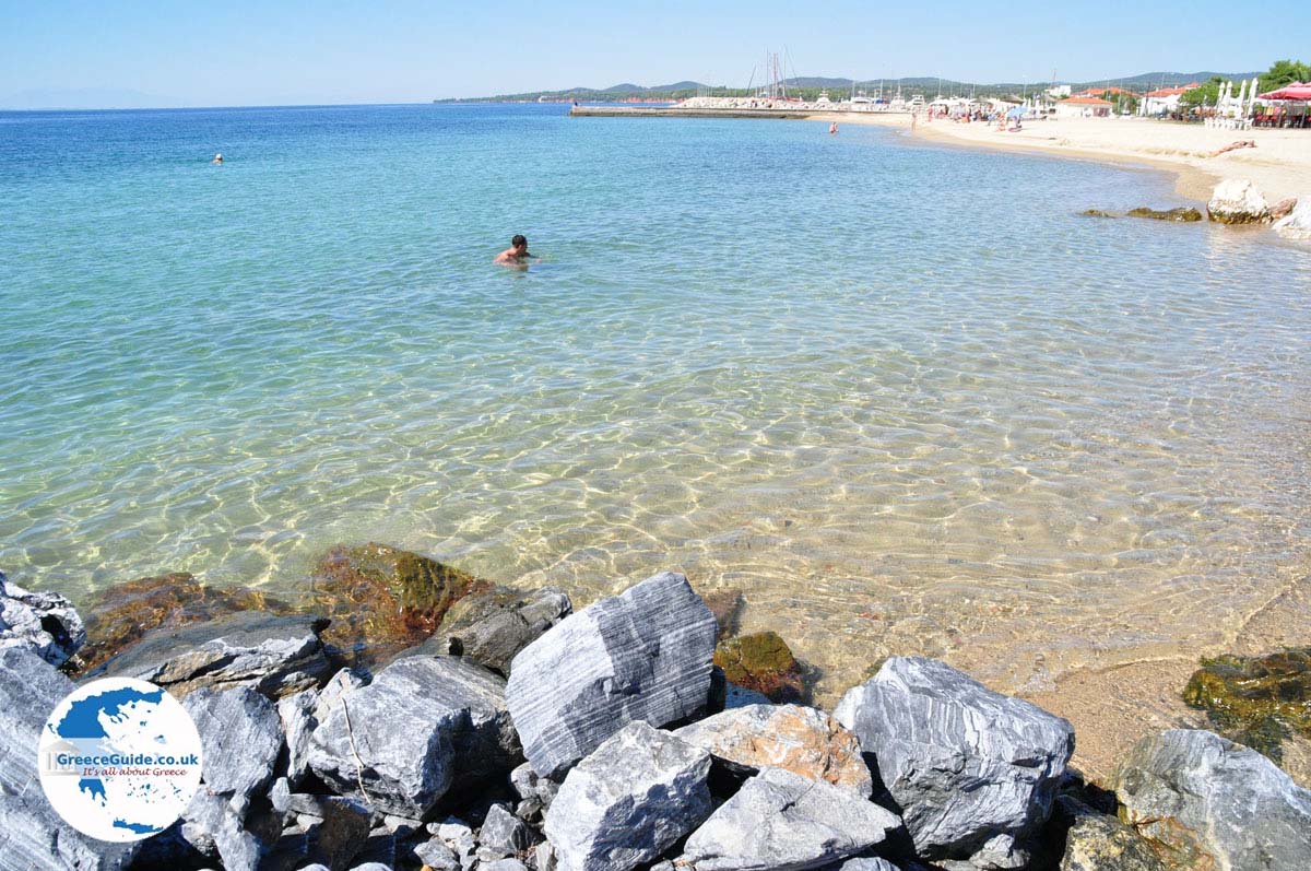
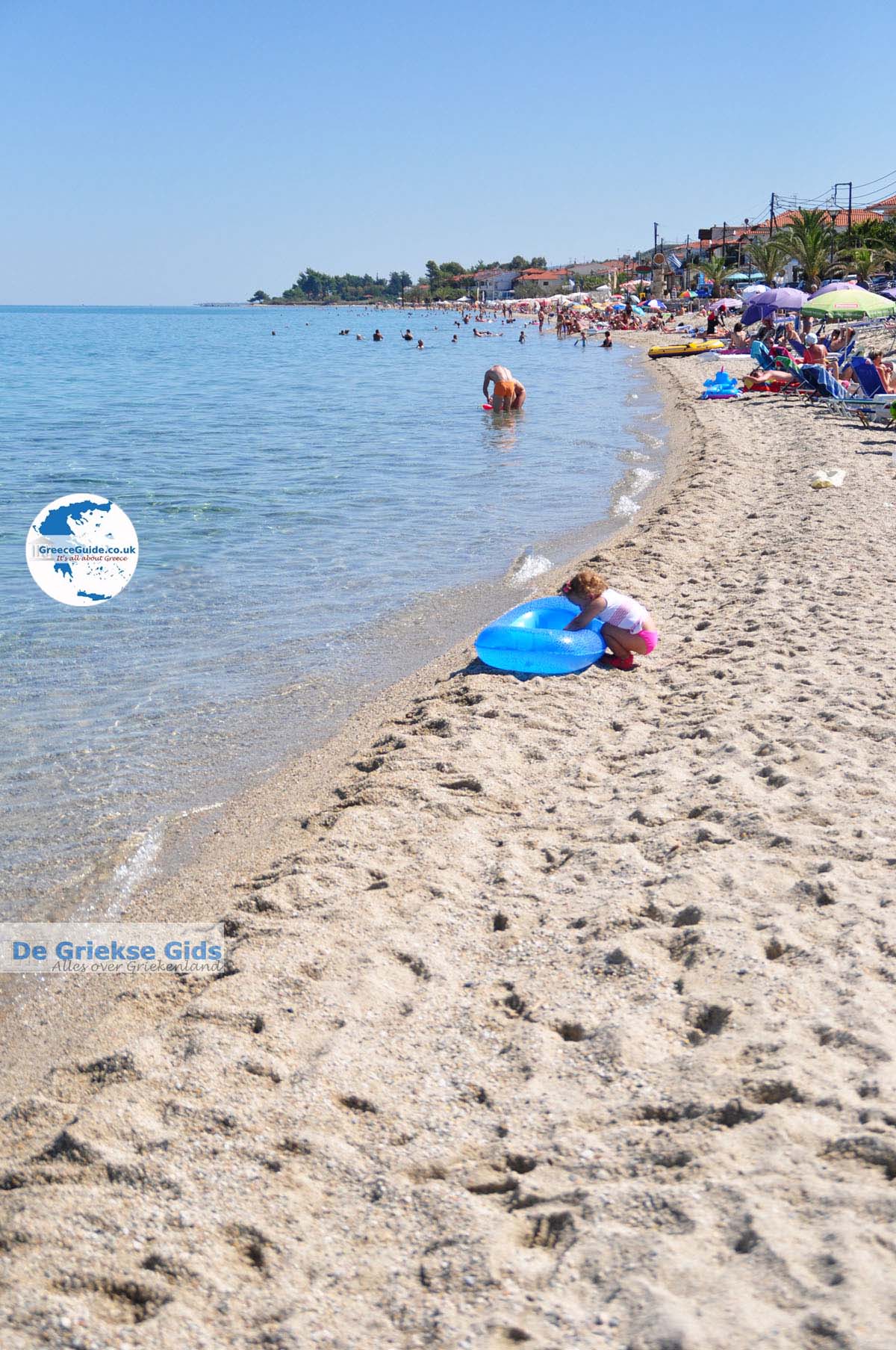
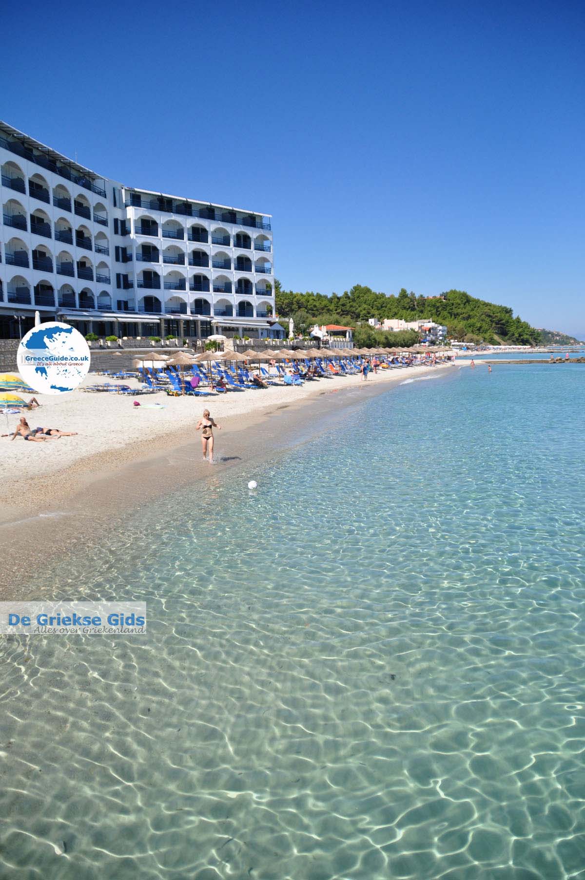
On the road from Trypiti to Ouranoupolis there are larger and smaller hotels, and there are several beautiful sandy beaches. Every year in late July, there is the sardine feast and on August 23, the feast of the Blessed Mother.
Text: Yorgos and Wendy Nikolidakis - Edited by Katrina Butzer
Photo Gallery Halkidiki - Photos of Halkidiki


Weather forecast Trypiti (Halkidiki)
Average temperature Trypiti
Trypiti in other languages
 Trypiti (GriekseGids.nl)
 Trypiti (GriekseGids.be)
 Trypiti (JustGreece.com)
Halkidiki: Where on the map is Trypiti located?
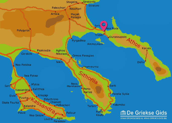
The map of Halkidiki (©GreeceGuide.co.uk)
Halkidiki
Afytos
Agia Paraskevi
Agios Nikolaos
Ammouliani
Arnaia
Chanioti
Dafni
Develiki
Elia beach
Fourka
Gerakini
Gomati
Ierissos
Kalamitsi
Kalandra
Kallithea
Karyes
Kassandra
Kassandria
Kavourotrypes
Kriopigi
Megali Panagia
Mount Athos
Nea Fokea
Nea Potidea
Nea Roda
Nea Skioni
Neochori
Neos Marmaras
Nikiti
Olympiada
Ormos Panagias
Ouranoupolis
Paleochori
Paliouri
Pefkochori
Polychrono
Polygyros
Porto Karras
Porto Koufo
Posidi
Psakoudia
Pyrgadikia
Sani
Sarti
Sithonia
Siviri
Stageira
Stratoni
Stratoniki
Sykia
Toroni
Trypiti
Vourvourou
Holidays in Greece
© GreeceGuide.co.uk 2026