Kalantos - Naxos (Greece)
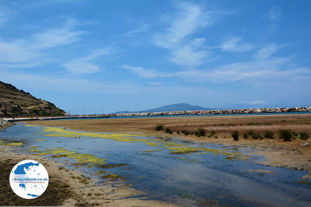
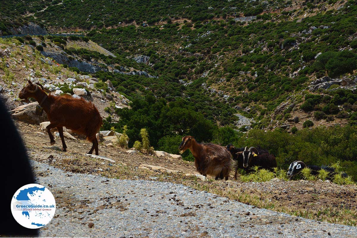
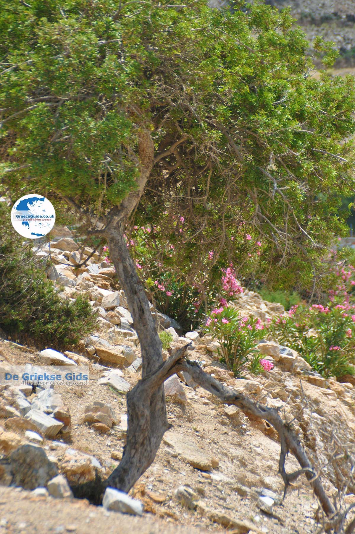
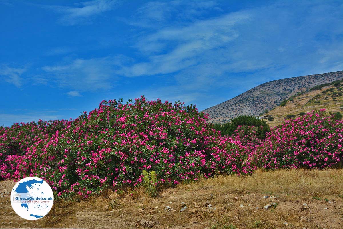
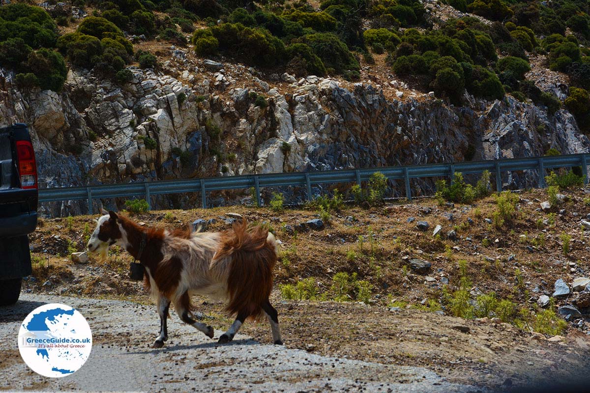
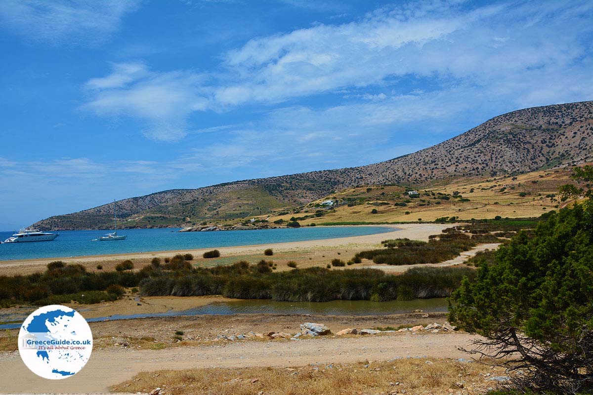
Kalantos (Kálantos) is the name of a small fishing port and beach (Chrissi Ammoudia), in the far south of the Greek island of Naxos, 42 kilometers (26 mi) from Naxos town. It is an area with only a few inhabitants, who are mainly sheepherders. You can see many pastures where hundreds of sheep graze. In this region, cheeses are produced using traditional, old-fashioned methods.
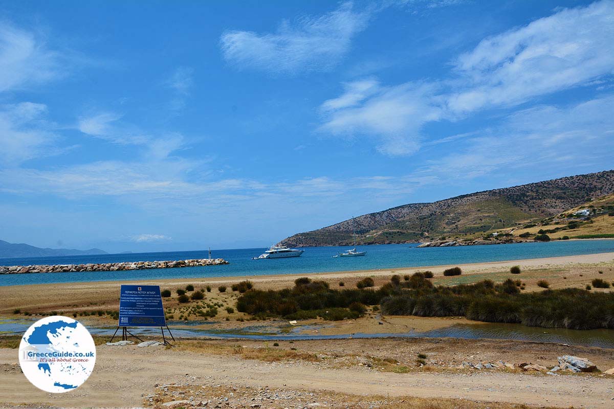
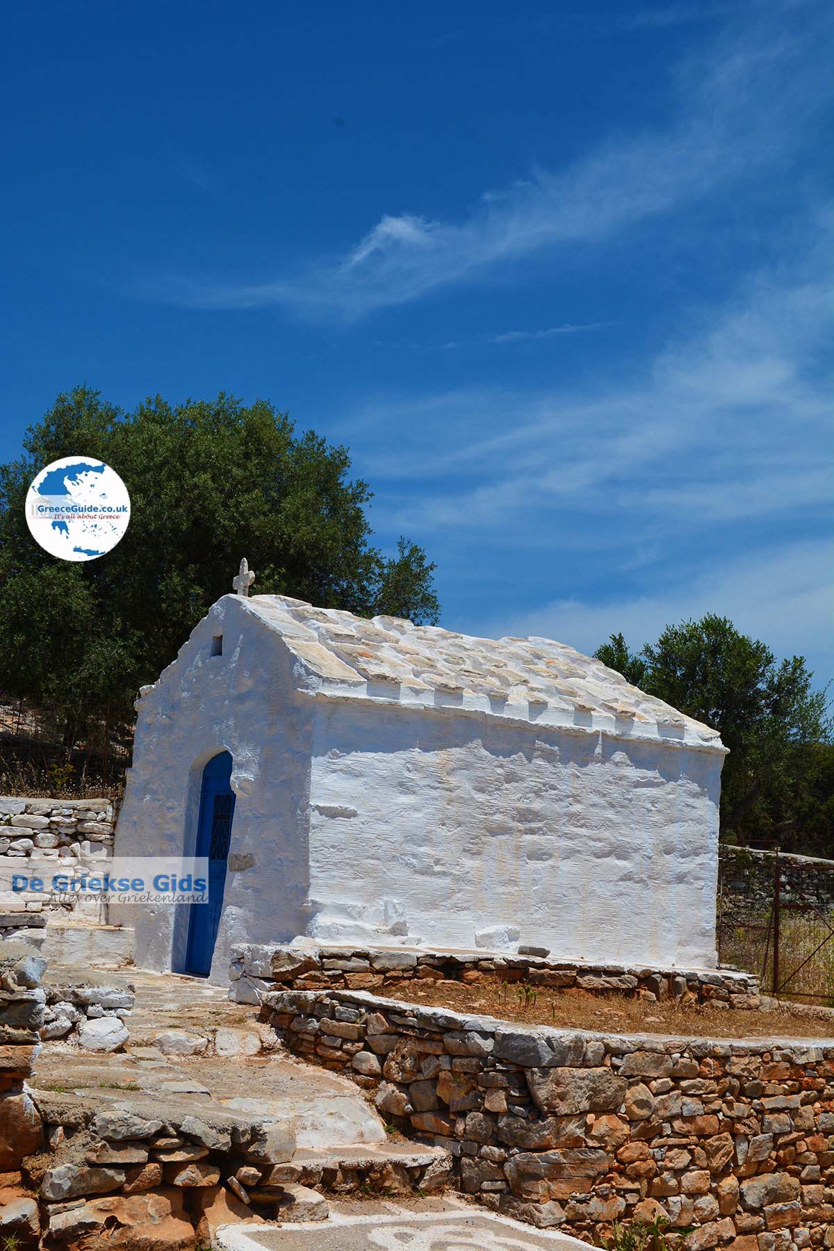
The harbor of Kalantos is just opposite the islands of Iraklia and Schinoussa. There are no village or buildings here. The only building on the beach is the chapel of Agioi Theodori. At the main beach there are no facilities. It is ideal for those who seek absolute tranquility. The road to Kalantos is not completely paved, the last few hundred meters is gravel.
Text: Yorgos and Wendy Nikolidakis - Edited by Katrina Butzer
Photo Gallery Kalantos - Photos of Kalantos

Weather forecast Kalantos (Naxos)
Kalantos in other languages
 Kalantos (GriekseGids.nl)
 Kalantos (GriekseGids.be)
 Kalantos (JustGreece.com)
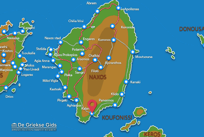
Naxos: Where on the map is Kalantos located?